DankBrief / Meme / Science & History
Why maps lie about country sizes
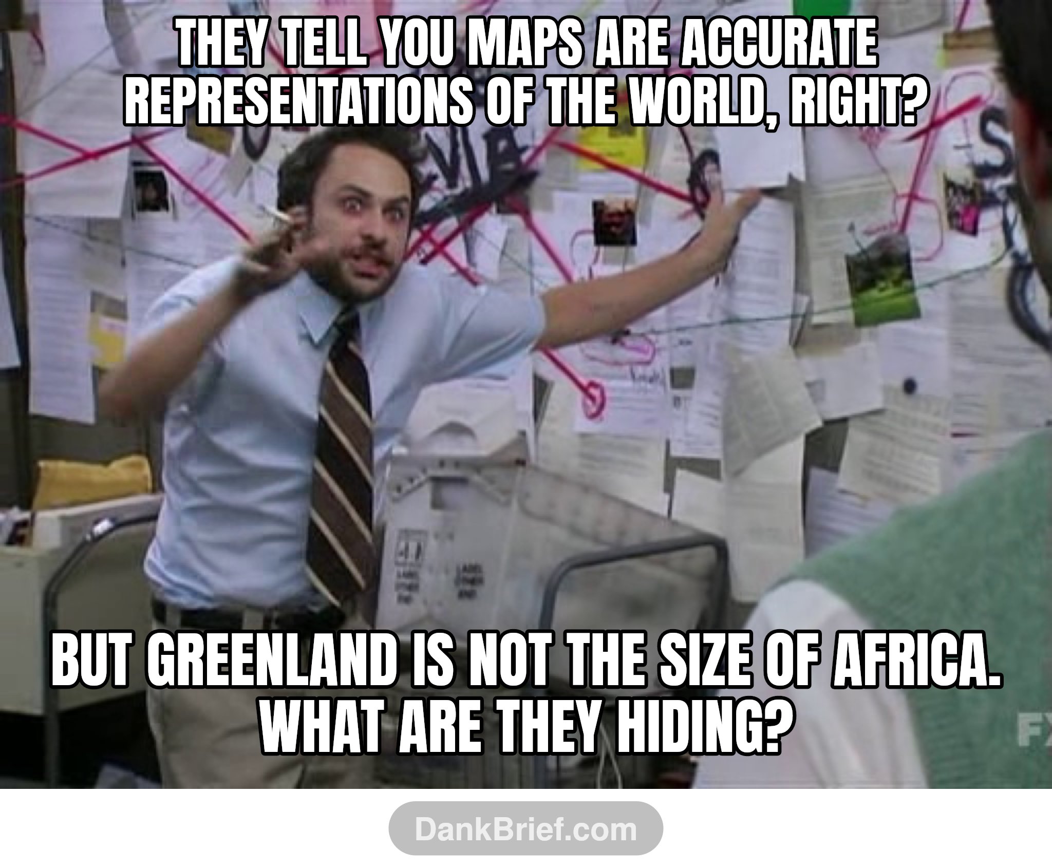
They tell you maps are accurate representations of the world, right? / But Greenland is not the size of Africa. What are they hiding?
Many world maps use the Mercator projection, which distorts the size of landmasses closer to the poles. This leads to common misconceptions about the true size of countries like Greenland compared to those near the equator.
Topics: Mercator projection memesMap distortion memesGeography facts memes
Meme format: Charlie conspiracy board memes
More Science & History
- Understand scientific papers quickly
- Realizing map projections distort true land size
- The Grim Origin of the Word Deadline
- The real origin of the word deadline
- Embrace curiosity and keep questioning
- Fusing Hamster and Algae DNA
- Planes Fly Faster East Due to Earth's Rotation
- The surprising start of scientific breakthroughs
- Imaginary Lines and Real World Borders
- Earth Briefly Had a Second Moon in 2024
- The Dark History of the Word Deadline
- Albert Einstein on the Mystery of Science